Drone Property Survey
Drone Survey Services
Drone Inspections & aerial surveying
Get accurate imaging with speed and precision
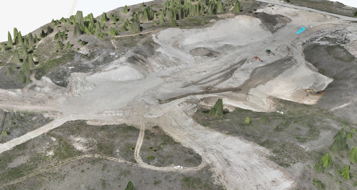
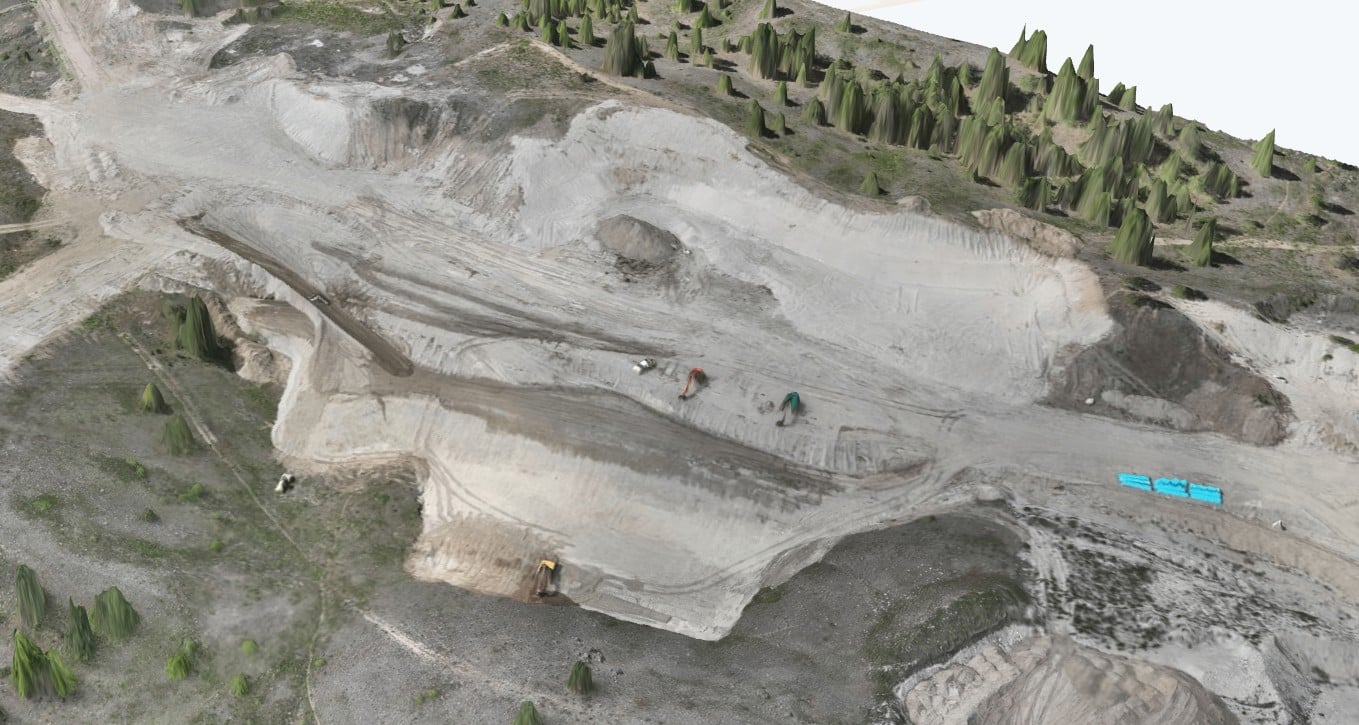
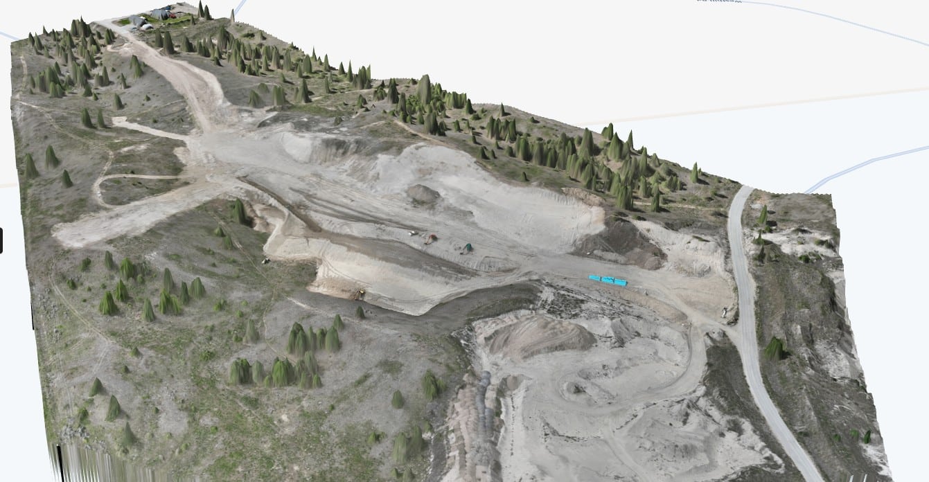
Drone surveying, also known as aerial surveying or mapping, uses drones to collect spatial data of a specific area. Equipped with high-resolution cameras, drones capture aerial images and data points, which are then processed to create detailed maps, 3D models, and other deliverables. This method offers a faster, more efficient, and often safer alternative to traditional surveying methods.
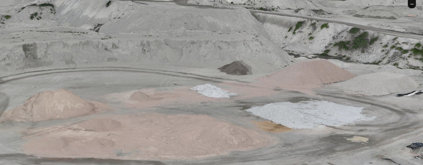
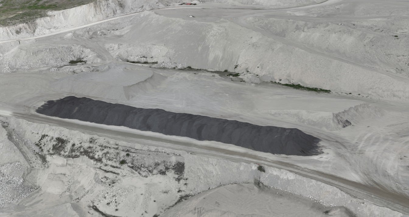
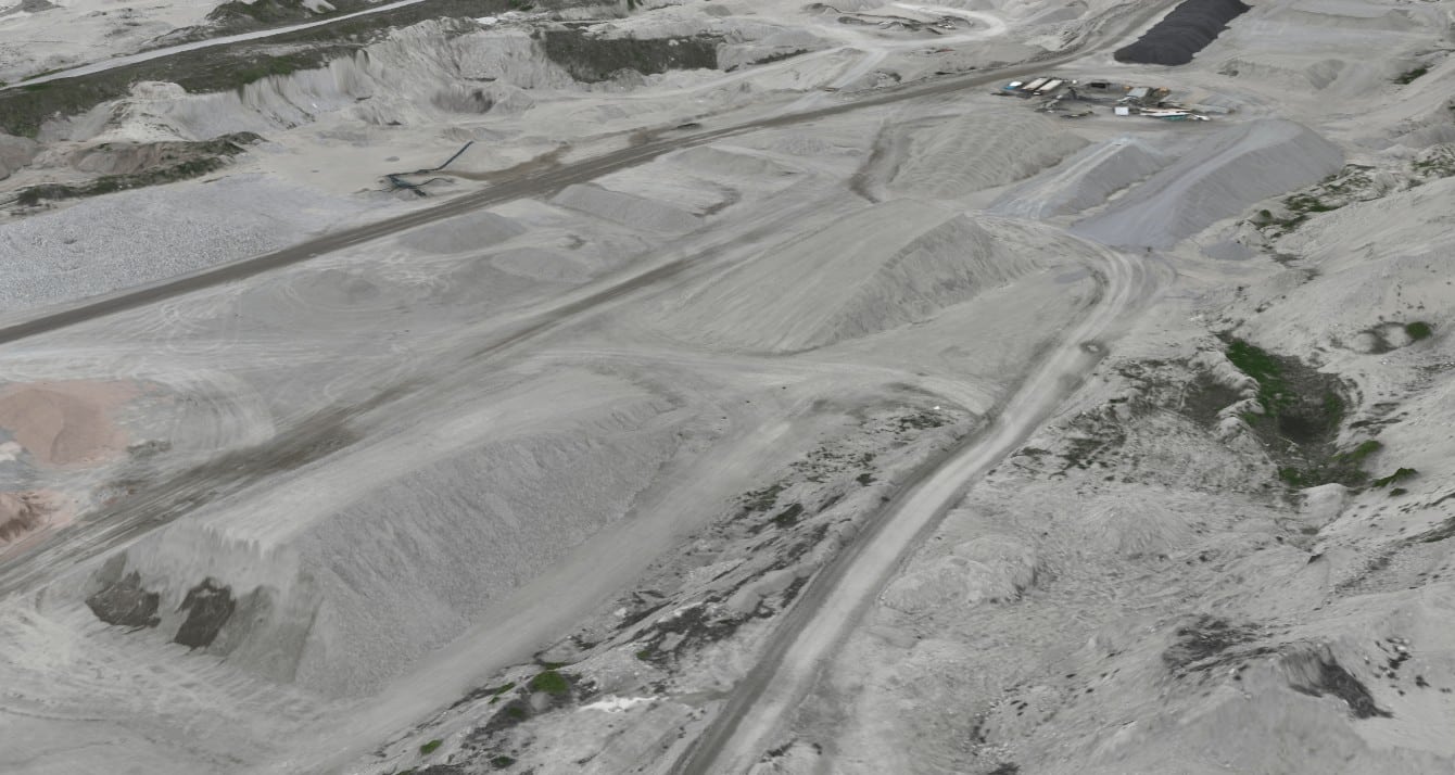
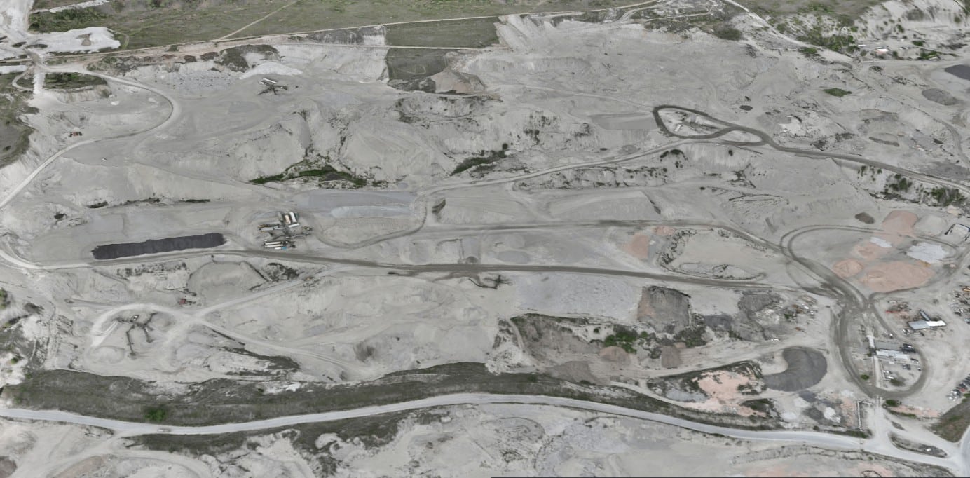
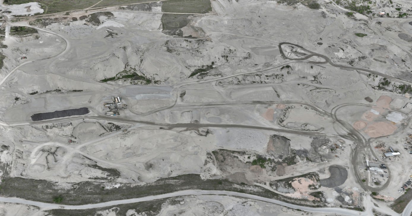
Construction
- Pre-construction planning
- Progress monitoring
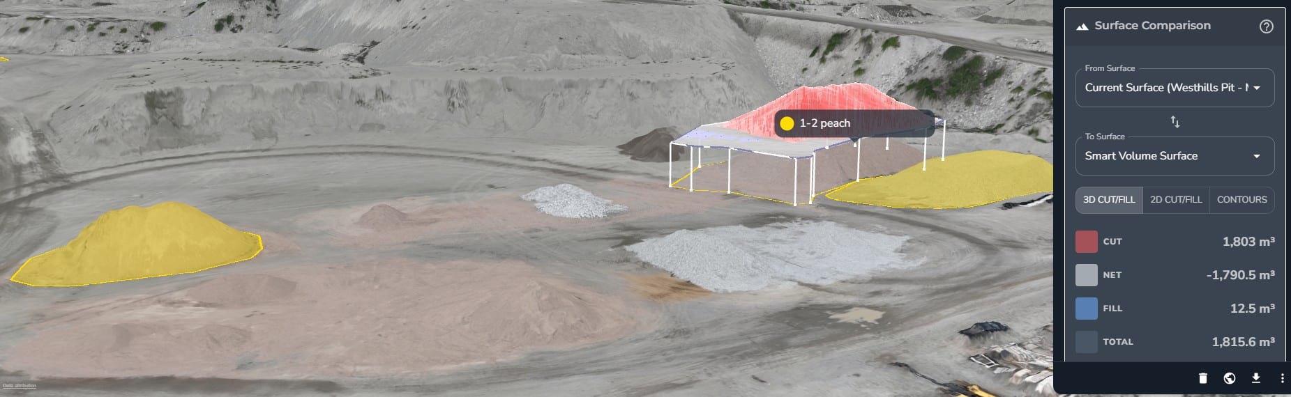
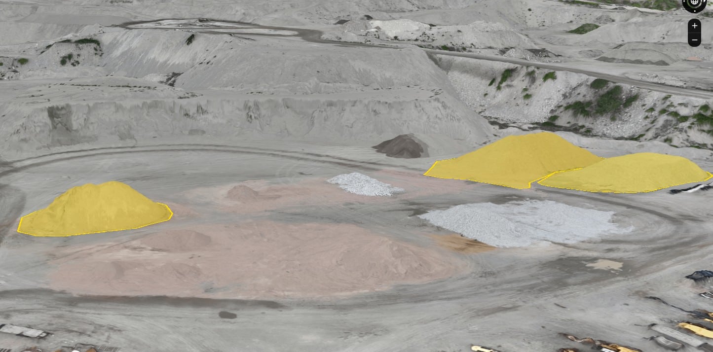
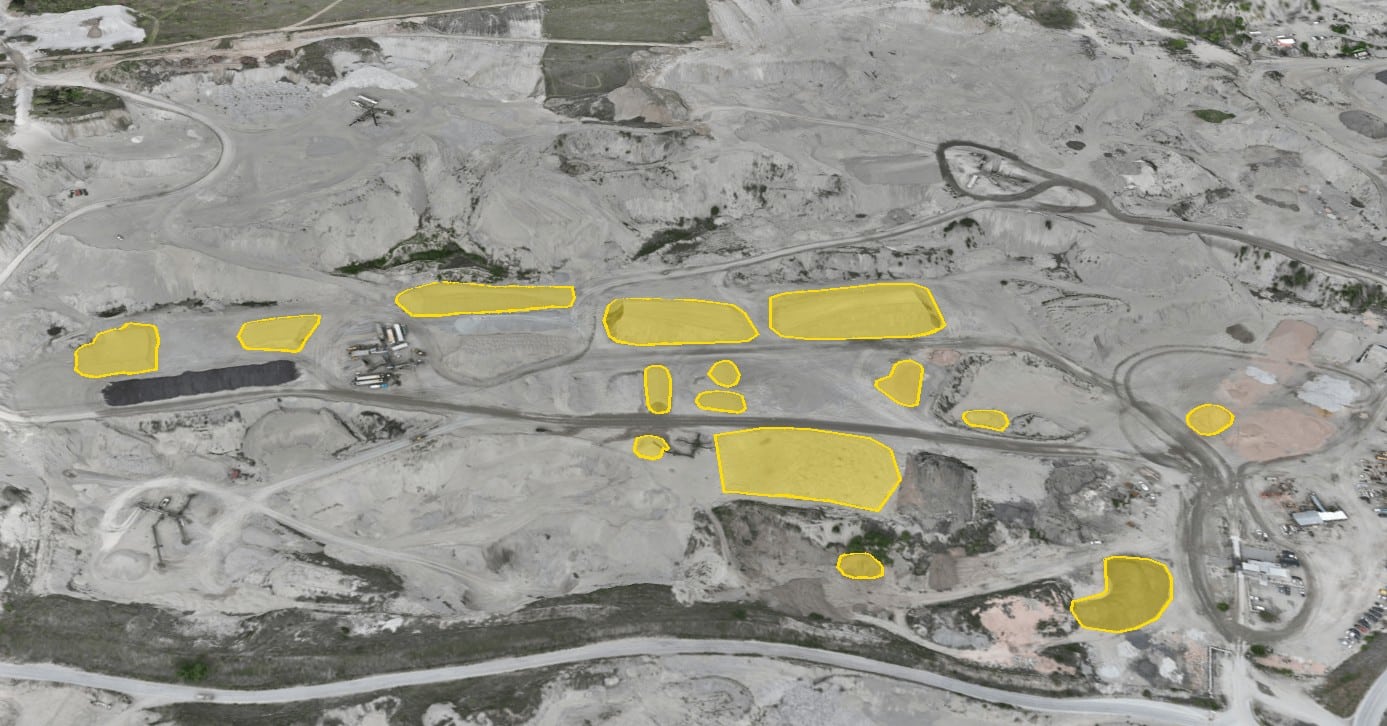
- Stockpile measurements
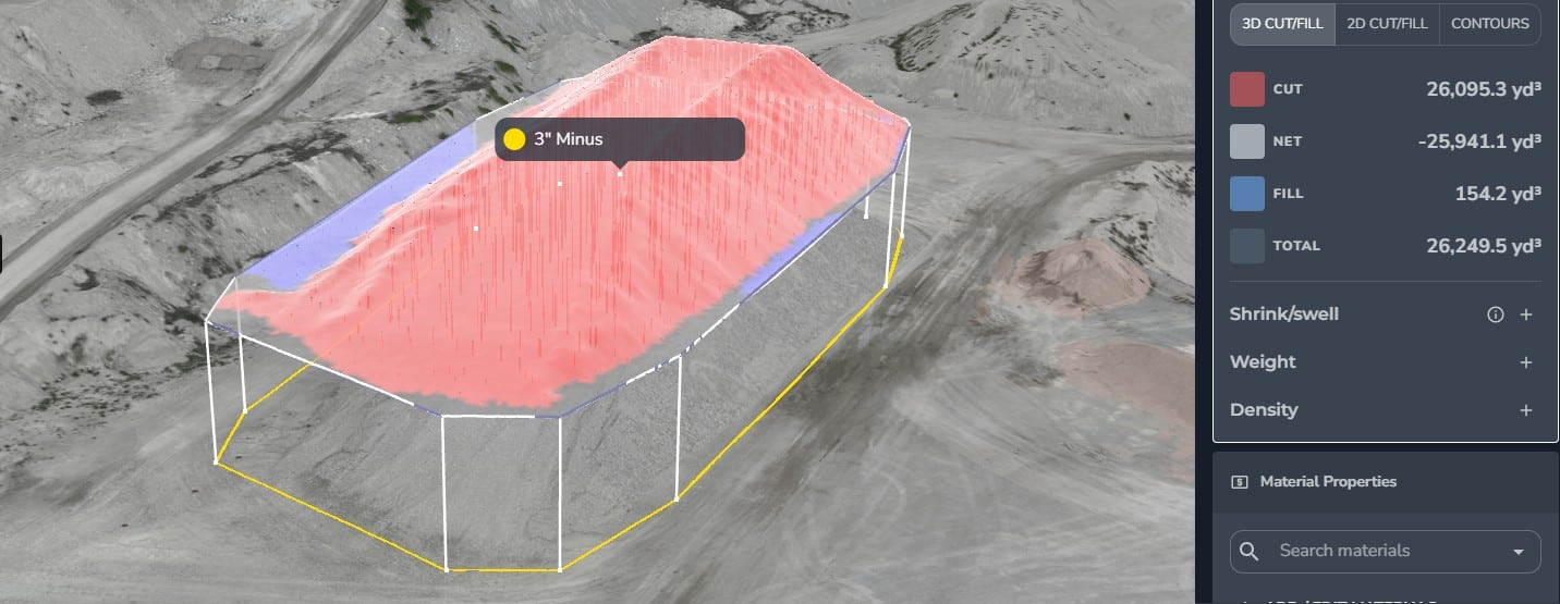
- Cut and fill calculations
- Quick Vertical and horizontal measurements of any part of the site
- Case studies of incidents on site
- Hazardous area access
- Square footage measurements
Infrastructure Inspection
- Bridge, pipeline, and power line inspection
- Utility inspection
- Wind turbine inspection
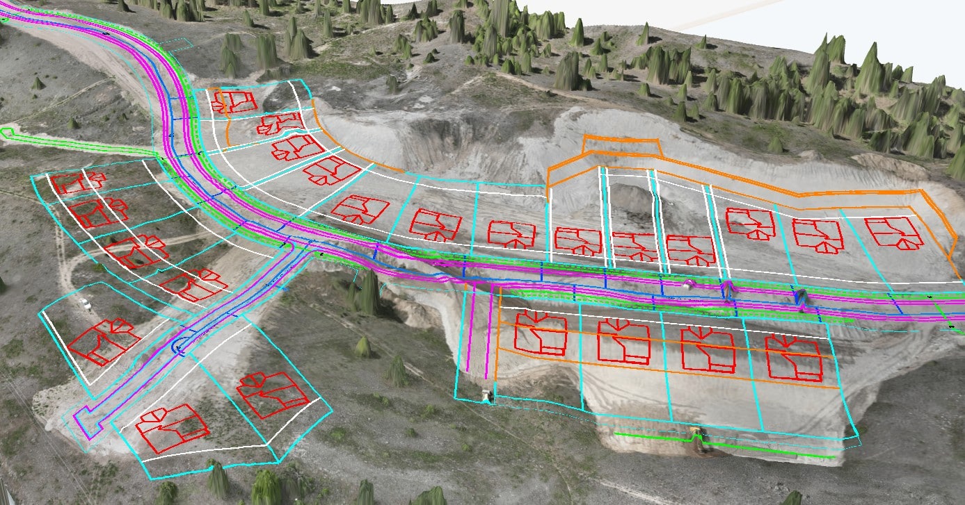
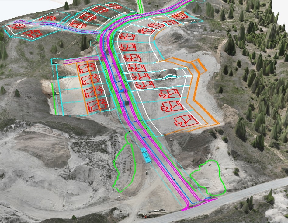
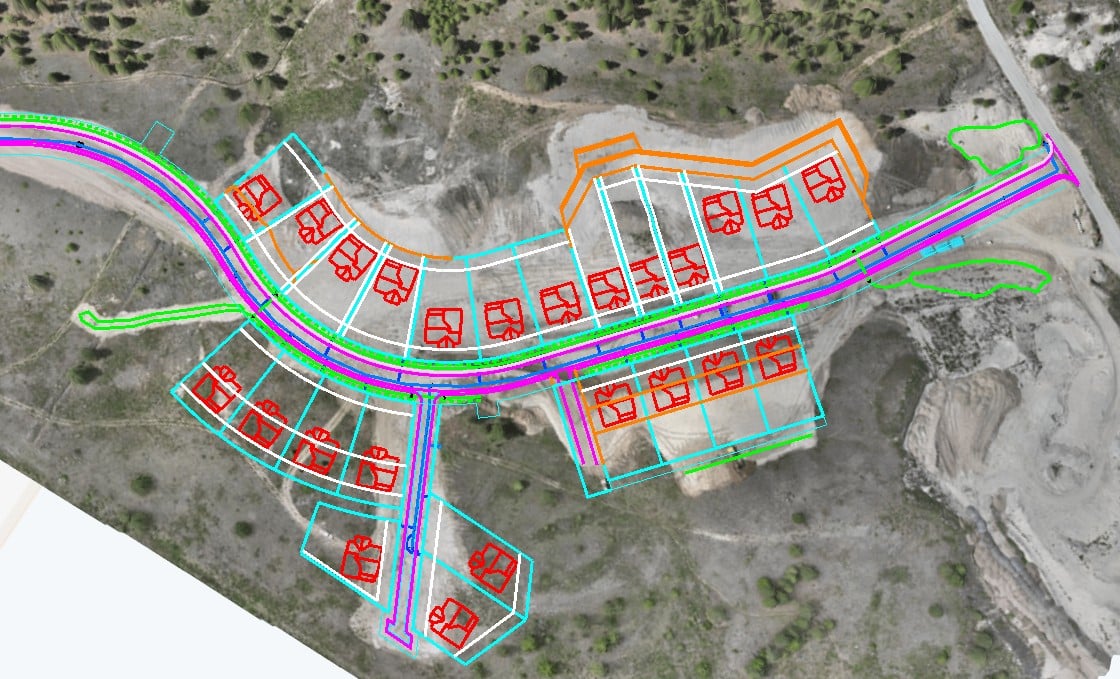
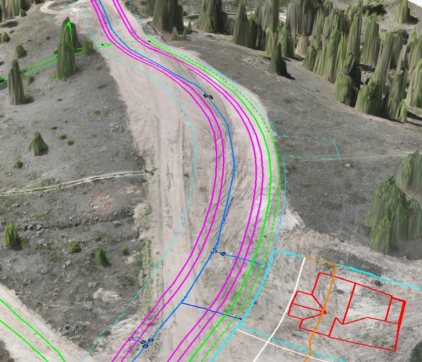
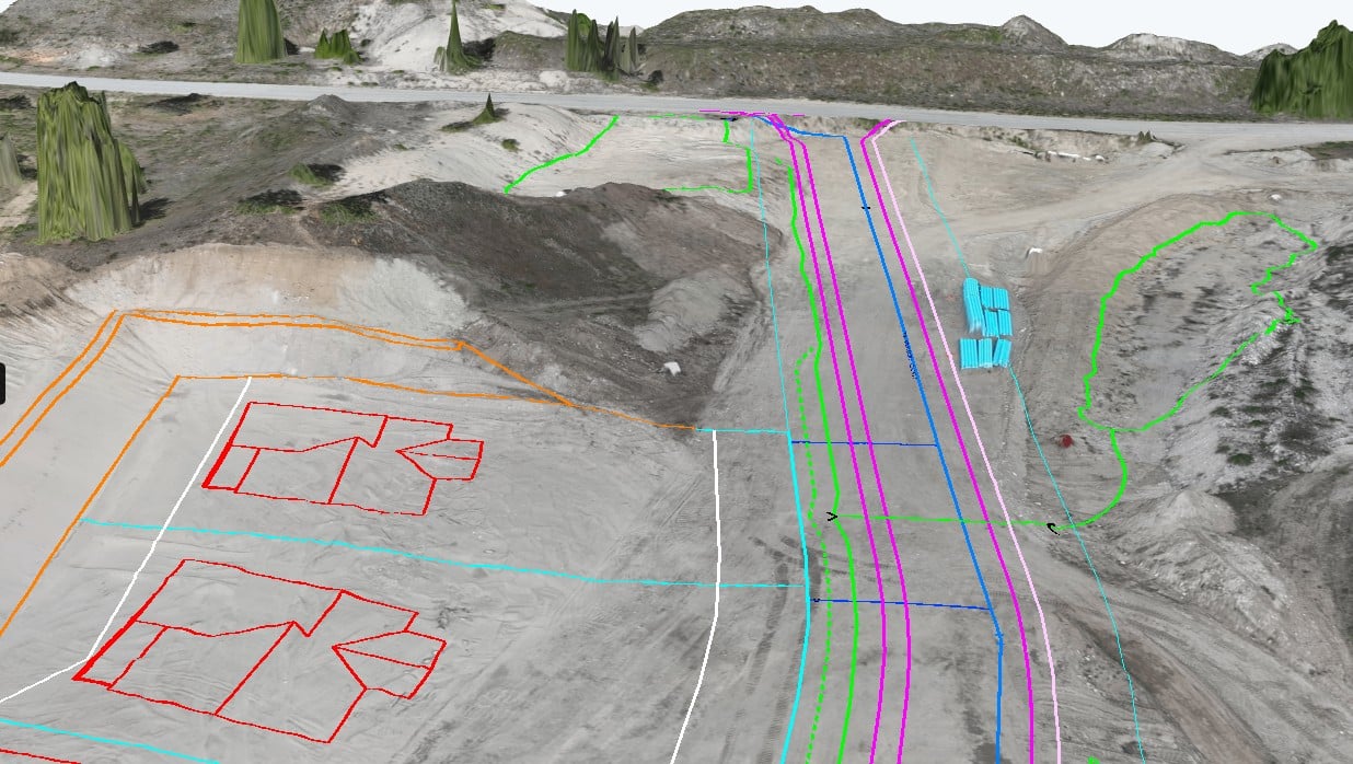
Land Surveying and Mapping
- Topographic mapping and terrain modeling
- Cadastral mapping
- Precise measurements
Deliverables
- Large orthomosaic photos High-resolution, georeferenced images created by stitching together many aerial photos into one large photo of a complete job site.
- Digital Terrain modelling w/ optional imagery overlayA Digital Terrain Model (DTM) is a digital representation of the Earth's surface, capturing elevation data with or without features like buildings, equipment or vegetation.
Output formats
Fast, Accurate Results
We know your timelines are tight, so we’ve built our drone surveying service to get you the information you need quickly. Aerial scans can be done in a fraction of the time it takes with traditional methods, and the results are ready fast so your crews can keep moving. From volume tracking to site planning, we’ll help you stay on schedule without cutting corners.
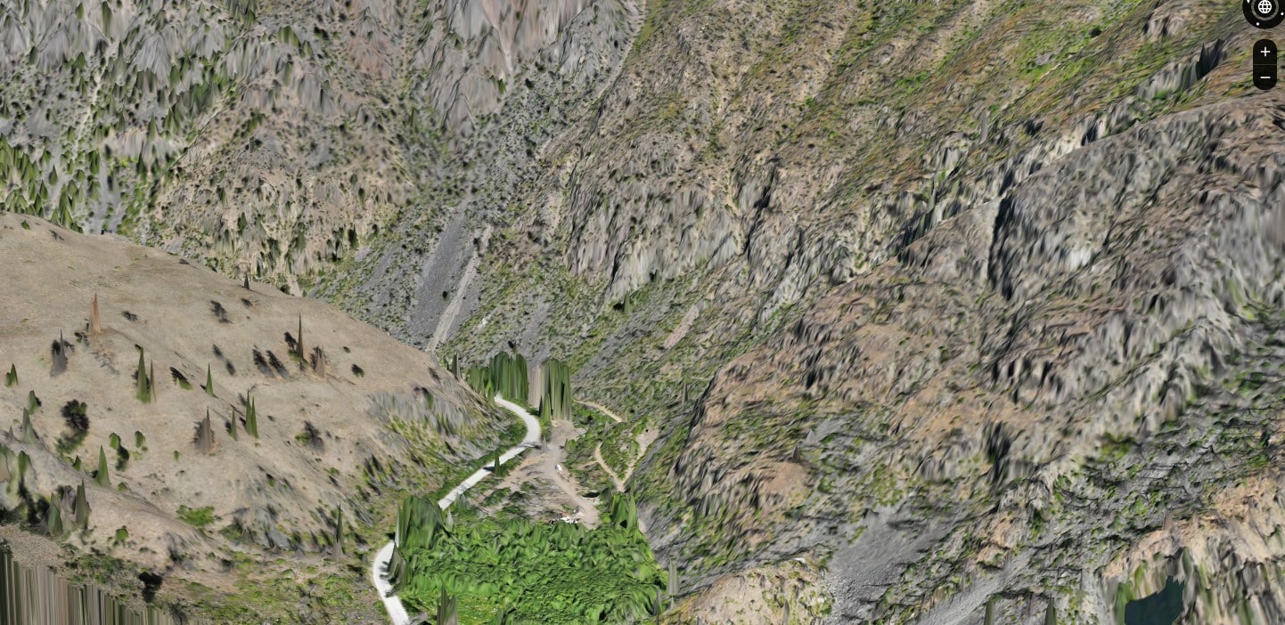
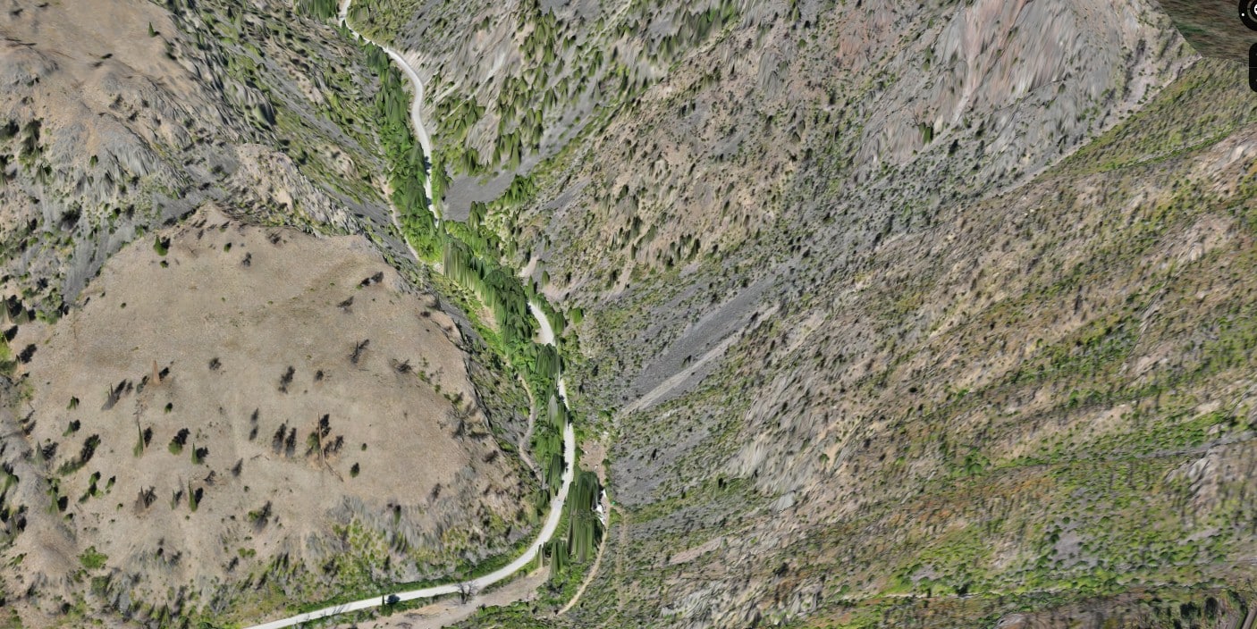
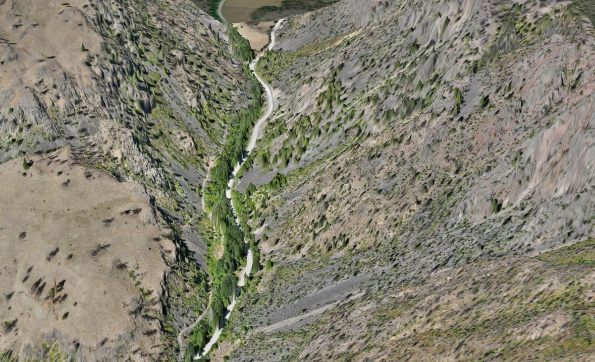
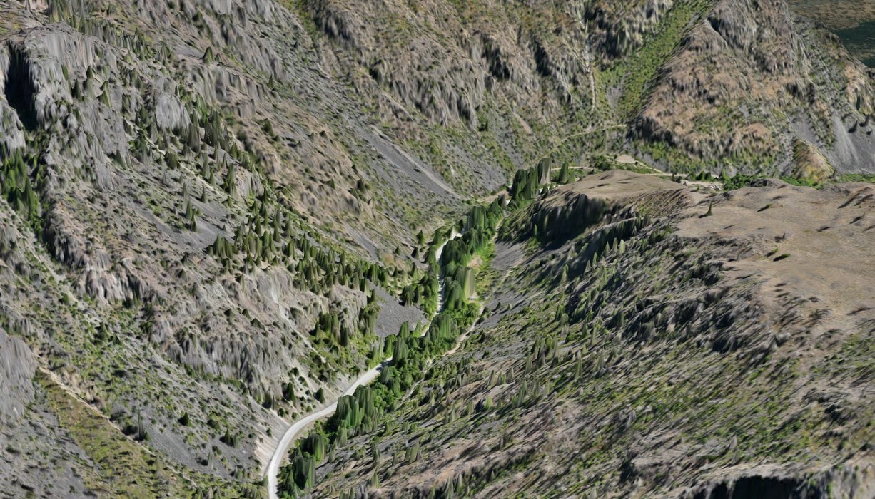
See what we can do: Green Mountain Project
Why Choose Us?

![]()
High Quality Results

![]()
Expertise and Certifications

![]()
speedy turnaround

![]()
Efficient results
Comprehensive Certifications
for Safety and Compliance
Tap into our Experience and Expertise
Our team blends hands-on surveying experience with the latest drone technology to capture the details that matter most for your project. Get in touch to see how we can help.